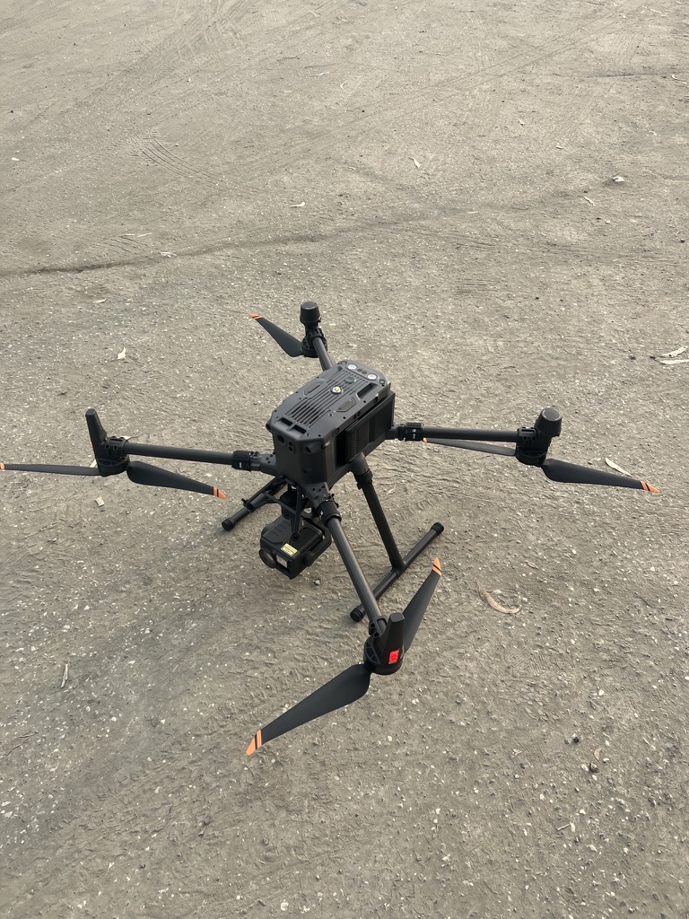
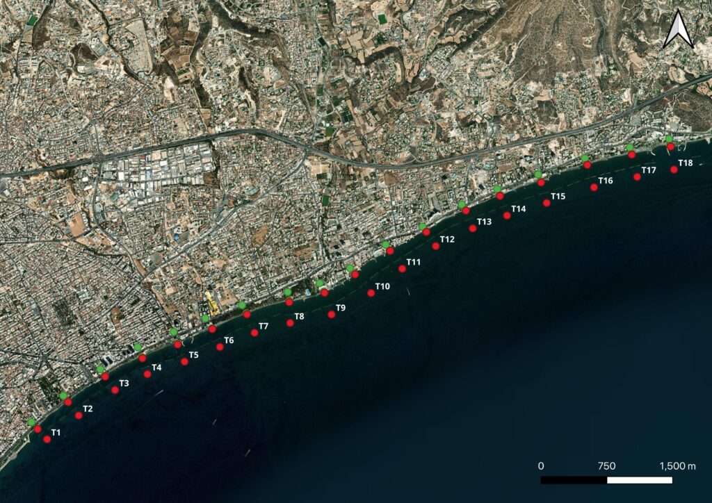
As part of our efforts to understand the regional coastal dynamics of Limassol, we conduct high-resolution elevation surveys using the MATRICE 300 RTK drone, which offers a vertical accuracy of ±0.1 m (Figure 8) across 18-selected profiles, spanning the commercial coastline of Limassol (Figure 9). These drone flights cover the area from the intertidal beach zone up to the natural dune/cliff or built backbone, capturing detailed elevation models essential for monitoring shoreline evolution, erosion patterns, and critical coastal features.
Figure 8: Specialised drone with a vertical accuracy of ± 0.1m
Figure 9: Cross-shore profiles selected for elevation and bathymetry surveys.